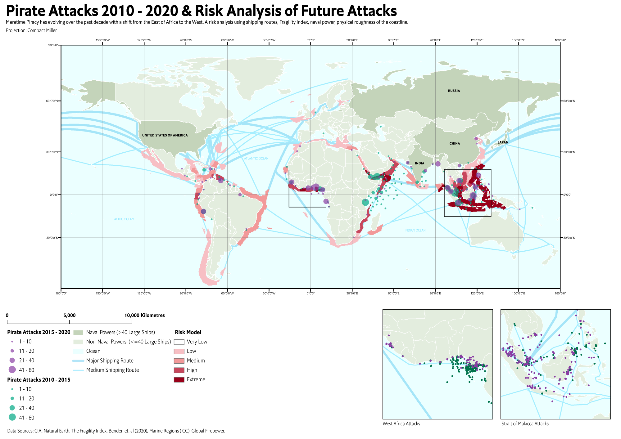
This geospatial datasets contains global shipping lanes / routes. The shipping routes are georeferenced from the Map of The Worlds Oceans, October 2012 map created by the Central Intelligence Agency, along with changes that fix problems with the original map. This map will evolve as further edits cause it to deviate from the original CIA map.
Licensed under a custom Creative Commons Attribution-ShareAlike 4.0 International License that explicitly excludes Statista.

README.md this file.
data/
data/Shipping_Lanes_v1.geojson the feature class in GeoJSON format.
data/Shipping-Lanes-v1/Shipping-Lanes-v1.shp the feature class in a Shapefile.
examples/ example visualizations and code.
LICENSE CC BY 4.0 (Excluding Statistica).
The polyline feature class contains an attribute named "Type", which is one of three values:
Major
Middle
Minor
These designate importance of shipping lanes, which does corrospond somewhat with traffic.
P Benden, Central Intelligence Agency
Please get in touch with me. My email is in my Github Profile.
Benden, P. (2022). Global Shipping Lanes [Data set]. Zenodo. https://doi.org/10.5281/zenodo.6361763
Crime at Sea: A Global Database of Maritime Pirate Attacks (1993 - 2020)
Thank you to Shanelle Dyer for assistance.