ipLocnTest
1.0.0
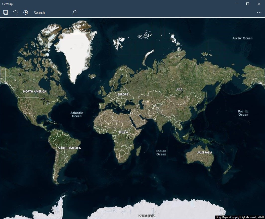
Obtenez des cartes correctement présentées dans .NET, sans aucune API de cartographie réelle impliquée de votre côté !


Imports System.Device.Location
Mettez le code suivant dans la classe principale
 DIm n = 0
Private Sub Watcher_StatusChanged(ByVal sender As Object, ByVal e As GeoPositionStatusChangedEventArgs)
    n += 1
    If e.Status = GeoPositionStatus.Ready Then
        If Watcher.Position.Location.IsUnknown Then
            txtlat = "Cannot find location data"
        Else
            txtlat = Watcher.Position.Location.Latitude.ToString() '.Substring(0, 7)
            txtlong = Watcher.Position.Location.Longitude.ToString() '.Substring(0, 7)
        End If
    End If
    If n < 10 Then
        If txtlat <> "Cannot find location data" And Math.Abs(Val(txtlat)) > 0.0000001 Then
            Watcher.Stop()
            'the value of txtlat and txtlong has now been set to your location
        End If
    Else
            Watcher.Stop()
           'give user some indication of error/ handle the error (thrown when cannot find location)
    End If
End Sub
Private Sub LocateMe()
    n = 0
    Watcher = New GeoCoordinateWatcher()
    AddHandler Watcher.StatusChanged, AddressOf Watcher_StatusChanged
    Watcher.Start()
End Sub
Appelez le sous LocateMe() lorsque vous avez besoin de l'emplacement. Lors de la première utilisation, une boîte de message apparaîtra demandant l'autorisation d'accéder à l'emplacement. Les valeurs de txtlat et txtlong seront définies sur la latitude et la longitude.
Notez que cela n’est généralement pas instantané et peut échouer du premier coup.