The main way for many tourists to travel in Nanjing is to take the subway. Because the distance between Nanjing city center and other districts is relatively long, some of the main tourist activities are concentrated in one area. So which app is better for Nanjing subway? Although taking the subway in Nanjing is convenient, the problem is that the lines are too complicated. Nanjing’s subway stations are also called by many people to be one of the most complicated subway stations in the country. There are more than a dozen at the station exit. If there are no locals with them, It would be difficult to understand without the help of the app, so you still need professional tools.
1. "Baidu Map"
If you want to play with various means of transportation, you still have to leave it to a professional map. Although it cannot directly synchronize the system in the subway station, you can search for its station location by the number of lines and stations, and it can also provide you with The fastest and shortest route to the subway station from your current location. Secondly, if your destination supports taking the subway, it can also give you all the plans and transfer requirements you need to take the subway.

2. "Cloud QuickPass"
The platform has been strongly promoting its payment function, which incorporates many convenient services that can be used with one click. For example, when you want to take various means of transportation and need to scan the QR code to pay, you can use the Cloud Quick Pass interface to The form of a one-code pass is displayed. This code can also be swiped through the gates of the subway station. There is also a special area to check the operation status of the subway station lines. It mainly monitors the arrival and departure time of each train.

3. "Metro Pass"
People who often take the subway should be familiar with this, because it is not limited to a single city, but is synchronized with the subway systems of more than 40 cities across the country, and its vehicle information is all in real time with the station. The broadcast is synchronized. You can search for which line you should take by entering your destination. If you need to transfer on the way, it will also tell you how many minutes you need to walk and at which gate you need to get on the bus again.

4. "Nanjing Metro"
The subway data will be updated and synchronized every year. If there are new lines, they will be added simultaneously. Because it is directly synchronized to check the subway in Nanjing area, there are also many features about Nanjing on the app. I recommend it to you. The plan includes its lines, prices, distances, etc. Because the distribution of Nanjing subway lines is relatively complex, the recommendation and introduction process will be as detailed as possible.

5. "Beidou Navigation"
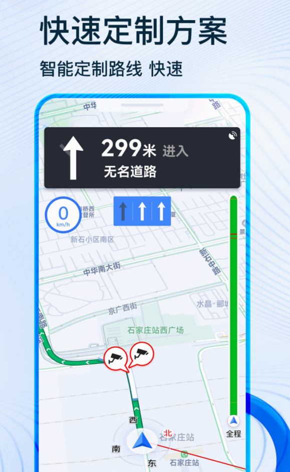
The navigation system can also replace the occupied subway software, because the purpose of the navigation system is to provide high-quality lines for a period of time. If the subway ride speed is fast during this journey, it will also directly tell you where to go and what station to take. Where to get off the bus? After getting off the bus, use other means of transportation to reach the destination. Because its accuracy in calculating distance is particularly impressive, the recommendations given by the subway line are naturally also very accurate.

The above is all about which app is better to use in the Nanjing subway. If you want to know how to ride the subway in Nanjing, it cannot be completed in one or two days. For tourists, it is better to just inquire about the ride honestly. Although the stop sign or the subway There are also information boards inside the station, but just looking at them is overwhelming.