Aowei 4D map installation app
1304
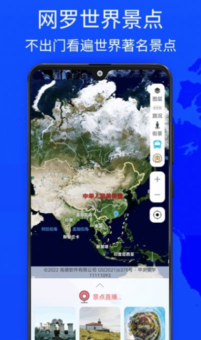
Aowei 4D Map is a good 3D street view map software that provides users with a brand new experience. The application is based on the world's highest-precision map data, plus 3D street view image technology and intelligent navigation and other functions. It brings users a new journey of map exploration, with the world's highest-precision map data, ensuring that users can obtain accurate and detailed map information during use.
1. Users can use the street view function to realize the experience of immersively exploring city streets;
2. Not only presents a real street scene, but also understands the environment around its location;
3. The software has a built-in navigation function, providing navigation and recommended software for a variety of travel modes.
1. Whether the user chooses to travel on foot, by car or by public transportation, this application software is supported;
2. Able to provide the best itinerary plan through real-time traffic conditions and multiple route options;
3. A comprehensive platform where users can quickly search for destinations and obtain accurate route information.
1. Can provide various travel modes and current traffic conditions, and provide the best itinerary plan;
2. Provide everyone with good navigation services and provide convenient and fast navigation services for users to travel;
3. It is also a software that can learn geography knowledge in detail through maps.
1. Covering hundreds of countries and regions around the world, including major cities and tourist attractions;
2. The navigation function is very powerful and can effectively improve the user’s travel efficiency and experience;
3. Supports security protection functions, such as intelligent alarm and remote monitoring services.