Xiaozhu Palm real-time bus app
v3.1.16
1. Support bus route query, users can enter the starting point and destination and choose the best route;
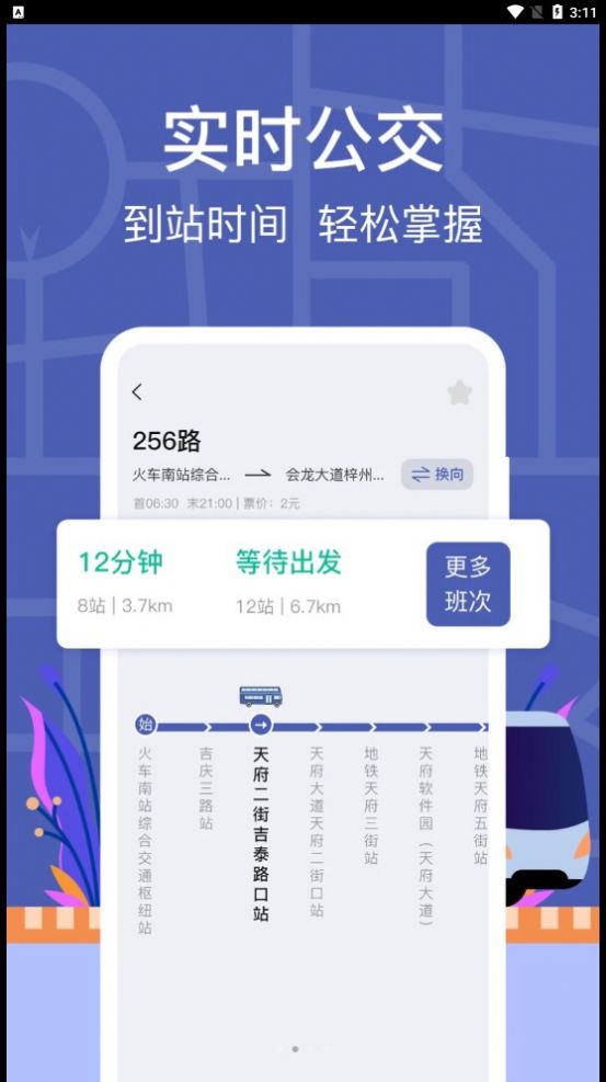
2. With real-time bus tracking function, users can see the real-time location of bus vehicles on the map;
3. You can also check the bus stops and bus arrival times on the route, making it easier to understand transfer routes and distance information.
1. Real-time arrival time to facilitate users to make the best travel decisions;
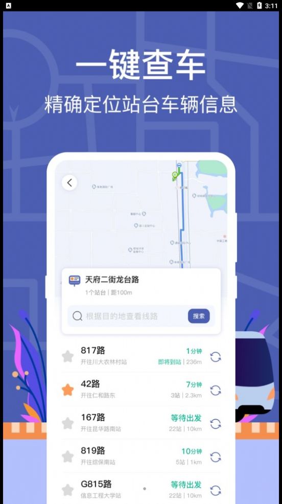
2. Provide comprehensive and detailed bus station information, users can enter the station name or select a station;
3. You can see comprehensive information such as nearby bus stops, bus routes and bus arrival times, and understand POI information around bus stops.
1. There are other practical functions, such as bus route collection, GPS positioning, nearby bus stop reminders, etc.;
2. The first is map display, which is used to display bus routes, bus vehicles and other information, allowing users to query bus information more easily and conveniently;
3. For bus route inquiry, there are two input boxes for the starting point and the end point. Users can manually enter the location or quickly locate the current location through the GPS positioning function.
1. To display bus stops, enter the site name or use the GPS positioning function to quickly display bus stops in the surrounding area;
2. Ancillary functions, including bus route collection, GPS positioning, navigation to the station, nearby station reminders, etc.;
3. Click on the bus vehicle in the query result to enter the real-time location tracking interface of the vehicle, and the real-time location of the bus vehicle will be displayed on the map.