Although the road surface has undulations, in terrains such as forests and grasslands, it is often impossible to accurately measure distances with ordinary tools. However, now there is an app called Walk Counter that can solve this problem! This app is not only small and lightweight, but also has a built-in GPS positioning system that can record your steps in real time and calculate the precise distance. In addition, it can also be used in areas such as exercise, agriculture, and transportation in daily life.
1. "Alipay"
It is a life service assistant that provides many conveniences to users. It can handle various services without leaving home, realize intelligent services, scan QR codes to order meals, pay utility bills, record steps and distance, etc., and provides thousands of services.

2. "Baidu Map"
As a real-life navigation tool, the software collects real-life road data in major cities, provides professional-level navigation, and supports voice recognition. Its dialect recognition is equally accurate. It also summarizes road distance and traffic condition information to automatically avoid crowded road sections.

3. "Distance Measurement"
As a multi-functional software, it takes into account measurement functions such as distance, sound, angle, direction, etc., accurately measures various data, and calibrates the level and height of your home. It has no impact on the measurement data in different environments.

4. "Gaode Map"
The software's map and navigation information is very accurate, providing users with real traffic data. It can collect distances such as main roads and streets with one click. It can also search surrounding leisure and entertainment venues, subway stations, bus stations, etc. in real time to determine the actual arrival distance.

5. "Ranging"
From then on, the mobile phone becomes a tape measure. This software supports a variety of distance measurements and can quickly estimate horizontal distance and height. Users only need to cooperate with the sensor operation. By placing the smartphone at the bottom, they can accurately grasp the distance of the object and preview the object directly. The whole picture, etc.

6. "Testing Mother's Treasure"
This app provides measurements of farmland, crop planting area, etc., accurately records crop growth and plot information, measures the length, width, area, etc. of land in real time, and sends various data to the cloud with one click to directly back up detailed information.

7. "Acre Measuring Instrument"
The software is specially designed for land surveying and provides a variety of free services. The specific measurement method is very simple. After everyone walks around the land, they can accurately grasp the land's altitude, slope and other information, which can be used in land transactions, crop cultivation and other scenarios.

8. "Tencent Map"
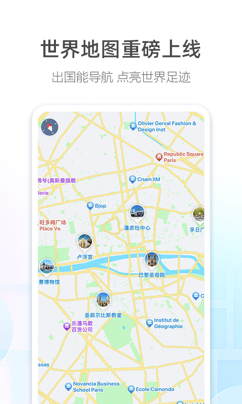
The software releases road information for large domestic cities to meet users' daily travel needs and provides intelligent and accurate solutions. Users use high-quality algorithms, big data, global positioning systems and other technologies to aggregate data such as AR real scenes and daily walking steps, thus easily Optimize routes to save everyone’s daily commuting time and avoid long-term traffic jams.

This article shares content related to the free software download for measuring meters while walking. From road measurement to map navigation and life application software, it can provide distance measurement services, publish real-time movement trajectories and distance information of users, and also provide cars and motorcycles. , walking and other navigation solutions to estimate the actual travel time.