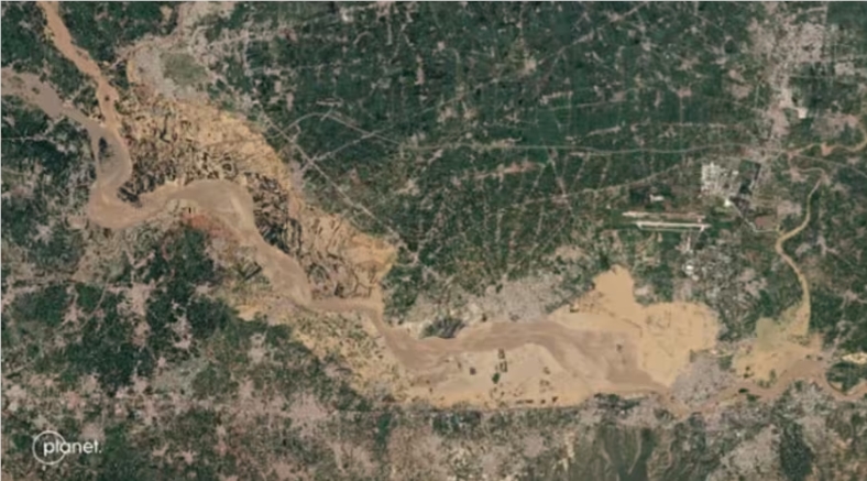
Researchers at the Massachusetts Institute of Technology (MIT) have developed a flood prediction tool that combines generative AI and physical models to produce realistic satellite images that visually represent potential flooding scenarios. This tool can not only identify high-risk areas more accurately, but also provide decision-makers with more reliable visual support for better flood warning and disaster response. This technology innovatively integrates generative adversarial networks (GAN) and physical models, effectively reducing the possibility of GAN model "illusion", improving the accuracy of images, and providing new methods for more effective flood warning and disaster management. way.
Scientists at the Massachusetts Institute of Technology (MIT) are developing an artificial intelligence (AI) tool that can generate realistic satellite images to illustrate potential flooding scenarios. This technology combines generative AI models and physics-based flood models to more accurately identify high-risk areas and provide decision-makers with reliable visualization support.
AI+physical model: Generate more accurate flood images
According to Space.com, the tool first uses physics models to identify areas at risk of flooding. It then generates a detailed aerial view of what the area might look like after flooding, depending on the intensity of the incoming storm. The tool uses an innovative approach that combines generative adversarial networks (GANs) with physical models to reduce "hallucinations" (i.e., features in images that look real but are inaccurate) that GANs can produce.

"'Illusions' can be misleading to viewers," said Bjorn Lütjens, a postdoctoral researcher in MIT's Department of Earth, Atmospheric and Planetary Sciences. "We are thinking about how to use these generative AI models in the context of climate impacts, in In this case, having a reliable data source is crucial. This is where physical models come into play.”
More intuitive early warning: help increase evacuation willingness
"The idea is that one day we could use this technology before a hurricane to provide an additional layer of visibility to the public," Lütjens said. He also stressed the importance of evacuations, saying: "Encourage people to Evacuation in the face of risk is a huge challenge. Maybe this kind of visualization can help improve that level of preparedness."
Actual measurement comparison: AI+physical model has obvious advantages
To demonstrate the model, the researchers applied it to a scenario in Houston, generating satellite images of flooding in the city after a storm similar to the intensity of Hurricane Harvey. They compared the AI-generated images with real satellite images and images generated without the aid of physical models. The results showed that the AI images generated without the assistance of physical models were very inaccurate and produced many "illusions", mainly showing flooding in areas where flooding is unlikely. In contrast, images generated using physical augmentation methods closely match real-world situations.
Application prospects: assisting decision-making and protecting life safety
Scientists anticipate that this technology will help predict future flooding scenarios and provide reliable visual data to help decision-makers make informed decisions for flood planning, evacuation and mitigation efforts. Lüterjens said decision-makers typically use visualizations, such as color-coded maps, to assess potential flood areas, but satellite image visualizations can provide more intuitive and engaging information while maintaining credibility.
Currently, the team's method is still in the proof-of-concept stage and more time is needed to analyze other areas to more accurately predict the outcomes of various storms.
"We demonstrate a practical approach to combining machine learning with physics for risk-sensitive use cases that require us to analyze Earth systems," said Dava Newman, MIT professor of aeronautics and astronautics and director of the MIT Media Lab. complexities and predict future actions and possible scenarios to keep people out of harm’s way. We can’t wait to get our generative AI tools into the hands of decision-makers at the local community level, where they could have a significant impact and even save lives. life."
This flood prediction technology based on AI and physical models provides powerful technical support for more accurate flood warning and disaster management in the future. It has broad application prospects and is expected to save more lives and reduce losses caused by floods around the world. . In the future, as the technology continues to improve and its application scope expands, this technology will play a greater role.