| 輸出 |
|---|
github_文檔 |
一個 R 包,用於保存自然地球地圖資料並促進與自然地球地圖資料的交互作用。
該軟體包提供:
存取預先下載的 Natural Earth v4.1.0(2018 年 3 月)向量資料子集,常用於世界地圖繪製
依國家和地區輕鬆進行子集化
下載其他自然地球向量和柵格資料的功能
從 Natural Earth 資料到 rnaturalearth 的簡單、可重複且可持續的工作流程,可在新版本可用時進行更新
澄清按國家、主權國家和地圖單位分類的世界地圖的差異
與 Natural Earth 命名約定保持一致,以便 rnaturalearth 使用者可以使用 Natural Earth 文檔
sf或sv格式的數據
Natural Earth 網站按比例、類別和類型建立向量資料。這些決定了下載的檔案名稱。 rnaturalearth 使用此結構來方便下載(如 API)。
從 CRAN 安裝:
install.packages( " rnaturalearth " )或使用 devtools 從 GitHub 安裝開發版本。
devtools :: install_github( " ropensci/rnaturalearth " )支援大部分套件功能的資料儲存在兩個資料包中,如果您未在此處安裝,系統將在需要時提示您安裝。
 devtools :: install_github( " ropensci/rnaturalearthdata " )
devtools :: install_github( " ropensci/rnaturalearthhires " )這裡使用plot作為繪製地圖的簡單、快速的方法。地圖也可以使用ggplot2 、 tmap或其他選項製作。所有檢索函數都接受參數returnclass = "sf"以傳回包sf (Simple Features) 或returnclass = "sv" (SpatVector) 物件。
library( rnaturalearth )

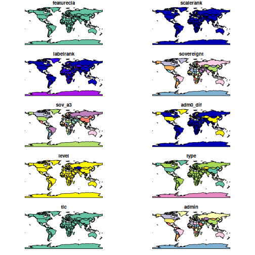
# world countries
plot(ne_countries())
Warning : plotting the first 10 out of 168 attributes ; use max.plot = 168 to plot all 
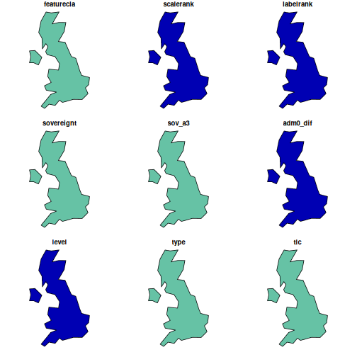
 # uk
plot(ne_countries( country = " united kingdom " ))
Warning : plotting the first 9 out of 168 attributes ; use max.plot = 168 to plot all 
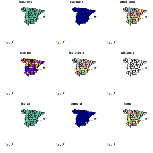
 # states, admin level1 boundaries
plot(ne_states( country = " spain " ))
Warning : plotting the first 9 out of 121 attributes ; use max.plot = 121 to plot all 
vignette( " rnaturalearth " , package = " rnaturalearth " )Natural Earth 網站上還提供了大量其他數據。 rnaturalearth具有幫助下載這些資料的功能。
可用數據在下面的兩個表和此處的線上數據中列出。
category   cultural

category   physical
指定所需向量的scale 、 category和type ,如下例所示。
 # lakes
lakes110 <- ne_download( scale = 110 , type = " lakes " , category = " physical " )
plot( lakes110 )

# rivers
rivers50 <- ne_download(
  scale = 50 ,
  type = " rivers_lake_centerlines " ,
  category = " physical " ,
  returnclass = " sf "
)

library( ggplot2 )
library( sf )

ggplot( rivers50 ) +
  geom_sf() +
theme_minimal()vignette( " what-is-a-country " , package = " rnaturalearth " )用於將資料取得到隨附資料包中的腳本。
如果您認為 Natural Earth 提供的數據有問題,請不要在此處報告。我們不對自然地球數據的準確性或維護負責。如果對此數據有任何疑問,請聯絡 Natural Earth。
感謝 Lincoln Mullen 從 USAboundaries 獲得程式碼結構靈感,Hadley Wickham 提供評論和提示,Bob Rudis 回答有關將 Natural Earth 資料下載到 R 的 stackoverflow 問題。
促進將用戶資料連接到國家邊界
促進按國家分組劃分子集