In Cities Skylines 2, many users are not clear about the gameplay of Cities Skylines 2. Next, we will introduce you to how to play Cities Skylines 2 and provide you with the service of learning more about all Cities Skylines 2 strategies on this site.



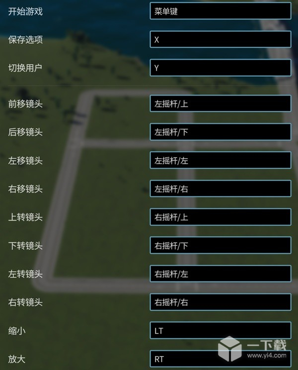

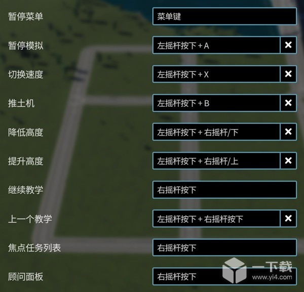


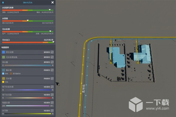
The roads in Skylines 2 have changed a lot compared to the first generation. The roads in this game are not only used for transportation, but also provide water circuits (automatic connections) for the buildings on both sides of the road, so this game does not need to be like the previous one. Connect the water and power grid specifically for the city.
Circuit:

waterway:
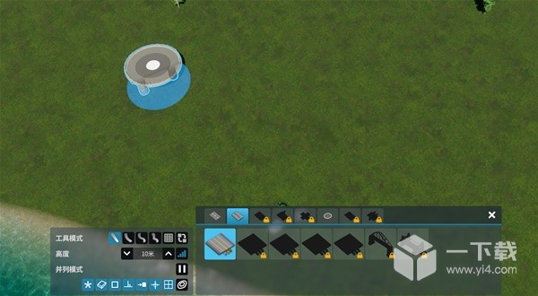
When we select a road, the toolbar in the lower left corner will appear. The type of road can be selected above. Players need to obtain unlock points by reaching milestones to gain more road choices.
The buttons in the first row can choose to lay straight roads (button 1), zigzag roads (buttons 2-4), grid tiling (fifth button), and replacement road types, such as 4 lanes instead of 2 lanes (button 6 ).

There are only 3 buttons for height. The first two are responsible for adjusting the height, and the buttons in the red box are for changing the range of the value.

The height button can adjust the height of the next position on the road. For example, if 10 meters is initially selected, we will start from a height of 10 meters as the first point, and then switch the height to 0 meters. Click the next point to lay a downhill road. .
Initial selection of 10 meters:
The end point is reduced to 0 meters:

Downhill road construction completed.
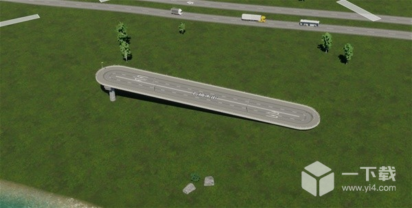
Of course, we can also build a non-intersecting intersection through height adjustment and reduce intersections to reduce road congestion.
First lay a common road.

Then we use 0 meters as the starting point of the road, and select a height of 10 meters to determine the midpoint.

After it drops to 0 meters, click the left mouse button to complete the construction.

Both methods are available as shown below.


Parallel mode allows newly constructed roads to be built along already paved roads to form parallel lines. The buttons on both sides of the numbers can adjust the distance between the two roads, and the last button turns on/off the parallel function.
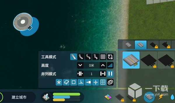
Its function is used for alignment between roads or terrains. It is mainly used for aesthetics. You can choose to turn it on/off according to your needs.

The power system is the basic system that maintains the operation of the city. Usually after the roads are laid, we should plan where to place our first power station. At the same time, the transmission lines connecting the outside world in the figure below need to be connected to our power grid.

As shown in the figure, power plants and substations need to be connected. It is recommended to bury transmission lines underground and connect them to the power plant to reduce the waste of surface area.

Low-voltage circuits will be laid along the roads, so you don’t need to worry too much about whether the circuits cover buildings.
The paving toolbar is consistent with the road. Without repeating the introduction, we will briefly introduce the initial power equipment.

For low-voltage electricity transmission lines, the lines that come with the road are also cables, but the upper load limit is only half that of the cables.
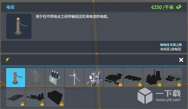
Power generation equipment needs to be connected to transmission lines, and excess electricity can be automatically sold to provide income.
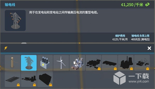
Convert high-voltage electricity to low-voltage electricity. The building complex cannot directly use high-voltage electricity, so it is a building that needs to be built at the beginning and needs to be connected to transmission lines.

The only power generation equipment that does not require a substation. If you do not need a substation at the beginning, you can use wind power, but the power generation is relatively low.

A power plant that can provide a large amount of electricity in the early stage will not have to worry about power problems for a long time. Its shortcomings will cause three other types of pollution in addition to water sources. You must choose a downwind direction + a location far away from residential areas at the start. Citizens will get sick if they are too close. It will also reduce happiness.

After completing the construction of roads and electricity, it is time to prepare water sources and drainage systems for the city. Roads in cities have their own waterways, so there is no need to pay special attention to whether buildings are connected to waterways.
Click the water purification and sewage button and the following water resources equipment will appear. I will not introduce them all, but focus on them.
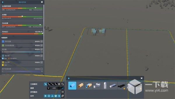
At the beginning, we need to choose a location to place a pumping station to provide stable clean water for the city. If we use river water sources, we need to choose to place a pumping station upstream (judge the upstream and downstream based on the triangle direction in the river) to prevent pollution sources from entering the water purification system. Citizens fell ill on a large scale. At the same time, we also need to place a sewage outlet to discharge wastewater to prevent sewage backflow within the city. All are connected by roads.
Upstream pumping station, downstream sewage outlet.

If we want to use an underground pumping station, we need to click on the underground pumping station and find the blue area on the map to place it to provide water for the city.

The area is divided into five parts including residential area, commercial area, industrial area, office area and specialized industries. Provide residential, commercial, industrial, office space and basic resources to the city respectively.
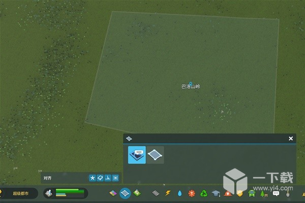
When we select the ribbon button, in addition to regional division, there will also be regional themes and tool modes in the lower left corner.
The planned architectural styles that can be changed are currently only North American and European, and other styles of buildings will be added.

North American style low density housing

European style low density housing
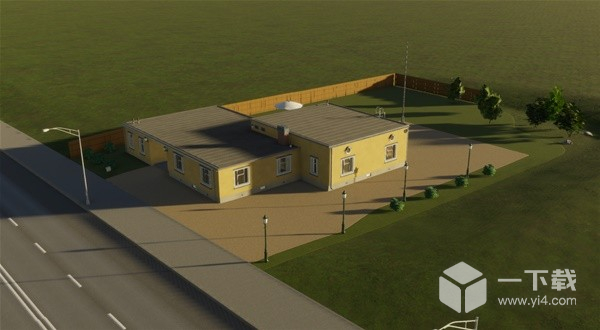
There are currently 3 tool modes, including filling (directly filling all the grids in the entire square), scrolling (selecting the squares to determine the type of building), and painting (selecting only the squares that the mouse passes over)
Residential areas can provide various types of housing needs. Some buildings, such as low-density housing and mixed housing, have certain placement requirements. Others can be placed according to what the city lacks, but they need to be kept away from industrial areas and other places with poor environments. place to prevent citizens from getting sick.

Commercial districts can provide basic commercial services and provide goods to citizens, but large-density enclosures are not recommended as there will be a problem of lack of customer sources.

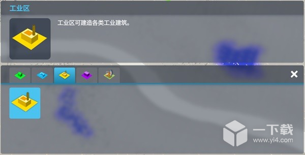
Industrial zones can manufacture goods for export or trade, which will cause large-area land and air pollution. It is not recommended to be placed upwind of residential areas.
Office areas can provide high tax revenue, but there are certain educational requirements for citizens.

Provide various basic resources for cities, which can reduce imports or provide export income.

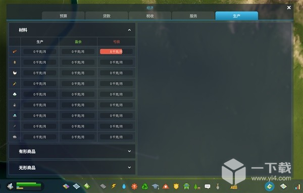
We can see the production and consumption of our resources in the city economy-production in the lower right corner to decide which resources to produce in the future.
Animal husbandry, grain cultivation, vegetable cultivation, and textile fiber cultivation all need to be placed in the green area on the map to provide resources.
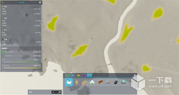
Forestry requires sites with dense concentrations of trees to provide high yields.

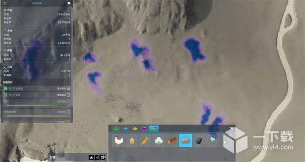
Stone, coal, and ore mining need to be placed in the purple area of the map to provide resource output.
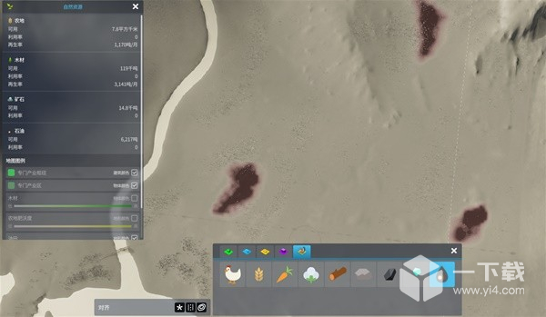
The oil industry needs to be mined in the brown areas of the map to obtain it.
Zoning tools can provide selected urban areas with various policies to guide residents' behavior.
